Photoplot Land Cover Data - Training & Validation
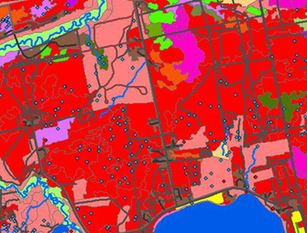
The ABMI 3 x 7 Photoplot Land Cover Data Set is a very detailed and comprehensive inventory characterizing human footprint, vegetation features, and other land surface features in a GIS format.
Comprehensive Mapping Product
This mapping product is a very detailed and comprehensive inventory characterizing moisture, management status, vegetation features, wetlands, land use, infrastructure, and land cover within the 1,656 ABMI 3 x 7-km sites that cover approximately 5% of Alberta. Over 800 out of 1,656 photoplot sites have been completed as of May 2018.
HF 3 x 7 Photoplot Land Cover Data Set
BATCH DOWNLOAD DATA FILES VIA FTP:
FTP Server: ftp.public.abmi.ca
Username: anonymous (no password required)
Path: /GISData/HumanFootprint3x7PhotoPlotLandCover/