Boreal Surface Water Inventory
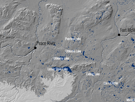
The Boreal Surface Water Inventory is a data set which gives the location, extent, and attributes of 421,348 waterbodies across the Alberta Boreal Forest Natural Region.
Overview
The shape and extent of the surface water polygons were derived from a machine learning algorithm used to identify surface water. The algorithm was based on raster inputs from the Sentinel-1 and -2 satellites. The machine learning algorithm was able to identify surface water with an accuracy 99.6%. When each pixel was classified into water or land the water pixels were converted to polygons. These polygons were then cleaned and attributed with: names, permanent/recurring, depth, and volume. For more detail on the methodology please refer to the Boreal Surface water inventory – technical documentation (available for download below).
Boreal Surface Water Inventory
References
DeLancey, E.R., Kariyeva, J., Cranston, J., and Brisco, B. 2018. “Monitoring hydro temporal variability in Alberta, Canada with multi-temporal Sentinel-1 SAR data.” Canadian Journal of Remote Sensing, Vol. 44(No.1): pp. 1-10.
Messager, M.L., Lehner, B. Grill, G., Nedeva, I, and Schmitt, O. 2016. “Estimating the volume and age of water stored in global lakes using a geo-statistical approach.” Nature Communications, Vol. 7: pp. 1-11.