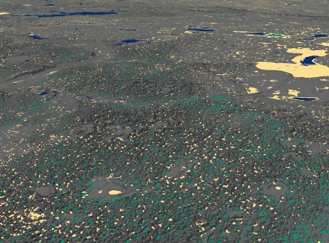
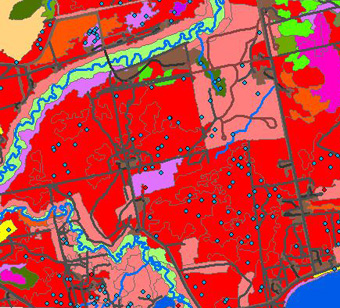
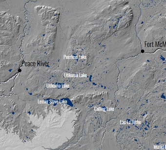
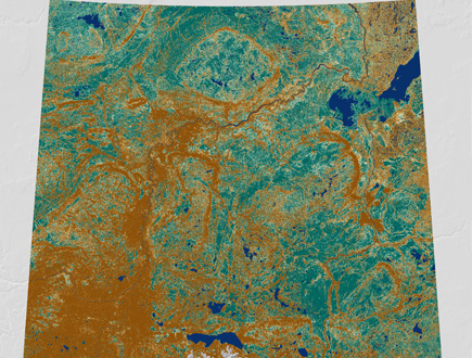
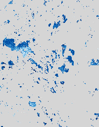
Advanced Landcover Prediction & Habitat Assessment (ALPHA) Products
The ABMI's ALPHA program uses Earth observation data and spatial data science to map and monitor Alberta's natural landscape. Products in the ALPHA program include wetland data, and hydroperiod data.