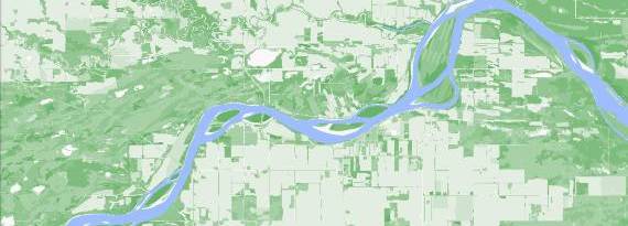
Our New and Improved Mapping Portal
Check out our new mapping portal with new functions, features, and an improved interface.
We’re excited to introduce you to our new mapping portal!
The original mapping portal was launched in 2017 as part of the ABMI’s Data and Analytics Portal. In 2019, after consultation with ABMI staff and stakeholders, we compiled a wishlist of features for the next version of the mapping portal. This past year, we focused on creating new data layers, enhancing the mapping portal’s functions, and improving its user interface. Our new-and-improved mapping portal offers the following new datasets:
-
“Habitat value” layers, such as climate refugia, old-forest bird habitat suitability, and non-native plant richness
-
Species occurrence maps, showing detections and non-detections at ABMI sites
-
Human footprint layers displayed as polygons rather than heat maps
The improved user interface and functionalities of the mapping portal include:
-
Ability to navigate to a location using GPS coordinates or a legal land description
-
Ability to select and display multiple Areas-of-Interest at the same time
-
Ability to select and display multiple datasets at the same time, and customize the order in which they’re displayed
-
Summary statistics available for human footprint data layers
We hope you’ll check it out, and while you’re there, let us know what you think of the improvements and what to prioritize for future versions! Find a short feedback survey link on the home page.