Innovation Anthology Profiles ABMI Geospatial Centre
The ABMI’s mission is to track changes in Alberta’s wildlife and their habitats from border to border, and provide relevant scientifically credible information on Alberta’s biodiversity. We do this in part by surveying biodiversity in the field across a systematic grid of sites.
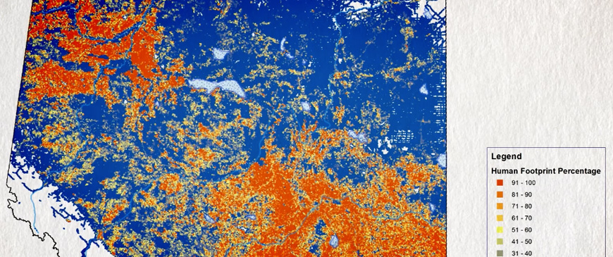
We also track changes in human footprint and vegetation across the province of Alberta, using a variety of remote sensing techniques to capture geospatial data. It’s these two data collection methods that allow us to see how changes in human land use are affecting Alberta’s biodiversity.
Dr. Jahan Kariyeva manages the ABMI’s Geospatial Centre and she was recently interviewed by Cheryl Croucher for Innovation Anthology about the methods her team uses to gather geospatial data and some of the products developed by the Geospatial Centre. The interview was broadcast on CKUA December 29, 2015: listen to the program here or check out the full interview here!