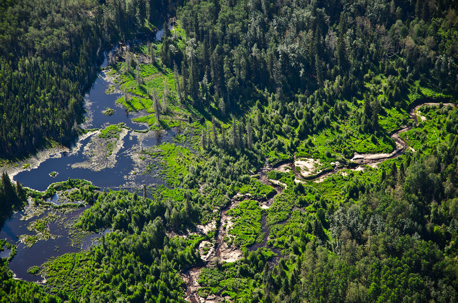
DUC & the ABMI to Collaborate
DUC and the ABMI are bringing their combined knowledge and expertise to take on this important work together.
The stronger the science, the stronger the decision-making capacity. That's why the ABMI and Ducks Unlimited Canada (DUC) are pleased to announce we're combining our GIS and remote sensing capabilities to produce the next generation of wetland maps for Alberta. Over the next three years, DUC and the ABMI will produce a science-based, seamless wetland map for all of Alberta. With recent advances in machine learning and the availability of earth observation data, now is the time to create a new, shared vision around what wetland maps can be and how they can be used. Read the full collaboration statement from DUC and the ABMI here.
Additionally, we are revamping our Biodiversity Browser in collaboration with Ducks Unlimited Canada to better fit wetland stakeholder needs. We want your input! If you currently use, or could use, the Biodiversity Browser to learn more about wetland species, PLEASE FILL OUT THIS SHORT SURVEY and let us know what features you'd like to see. Note: This survey is now closed.
Update (Spring 2021): Going forward, we’re delighted to be working with both Ducks Unlimited Canada and Alberta Environment & Parks (AEP) to further improve and enhance wetland mapping. Stay tuned for some exciting developments from our collaboration as we work towards the next generation of wetland inventories in Alberta to meet AEP’s new wetland inventory standards and guidelines.